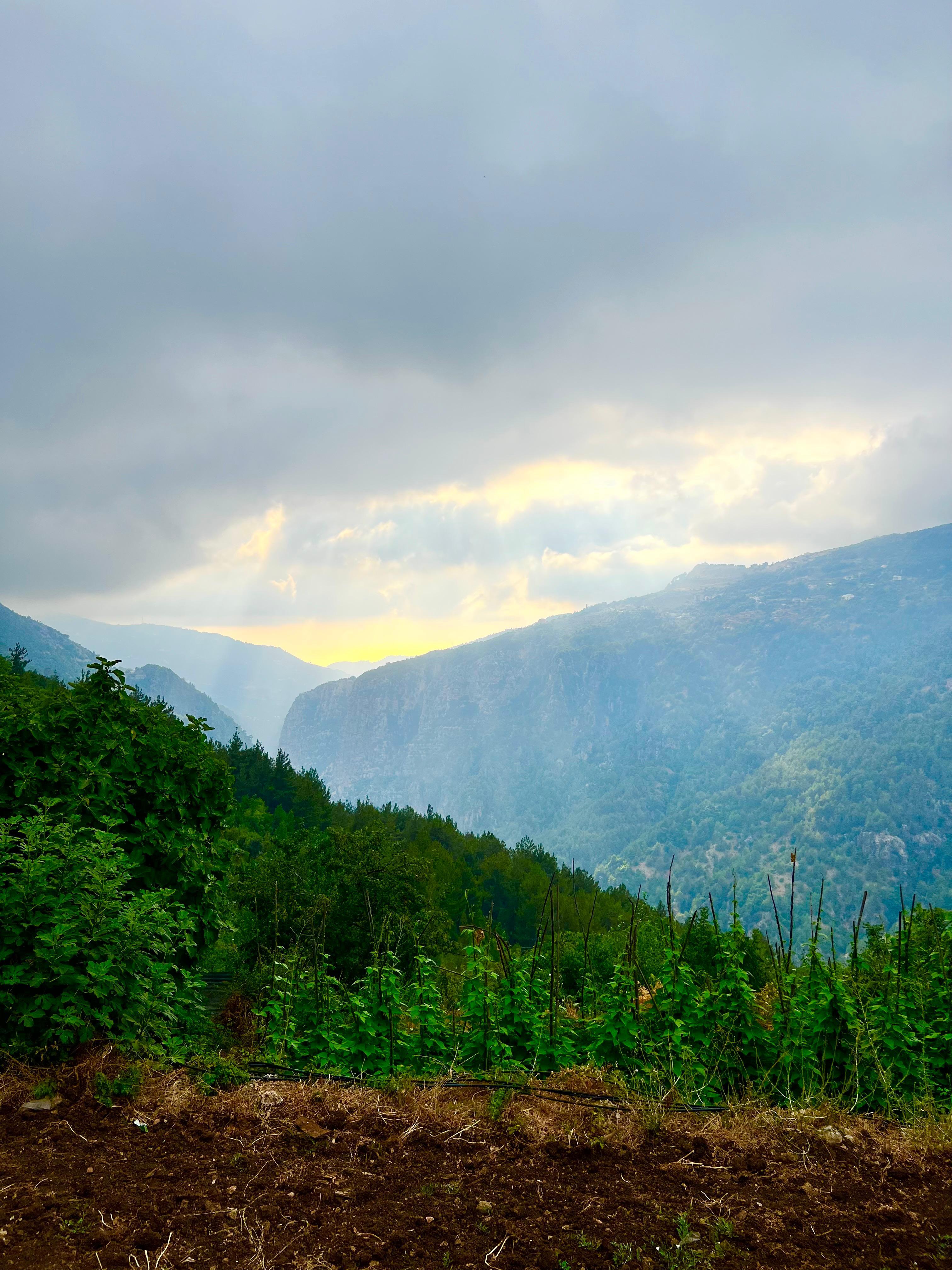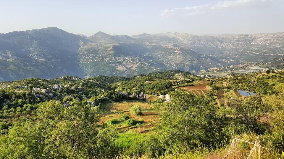
The 7 Surrounding Villages
Jabal Moussa is surrounded by 7 main villages: Yahchouch, Al Iibre and Chouwan, Qehmez, Nahr ed Dahab, Ghbaleh and Jouret El Termos.
-
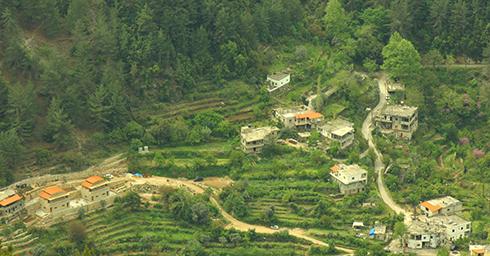
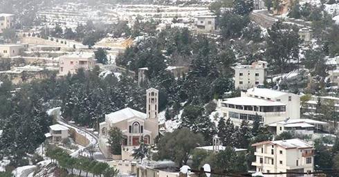
Al Iibre and Chouwan
Governorate: Mount Lebanon
Caza: Ftouh Kesserwan
Altitudes: Chouwan: 470m to 650m - Al iibre: 850m
Distance from Beirut: 51 Km
Meaning and origins of the village name:
Chouwan: Even though he doubts its Semitic origin, Dr Anis Freiha assumes it might be a distortion of the Semitic word “Shewê”, plural of “Shewé”, meaning “flat” and “leveled” as opposed to “rugged” and “high”.
Al Iibre: The name derives from the root “Ebra”, meaning the crossing, the coast, which is used in reference to “the other side”. The root word"عبر" means to cross and pass.
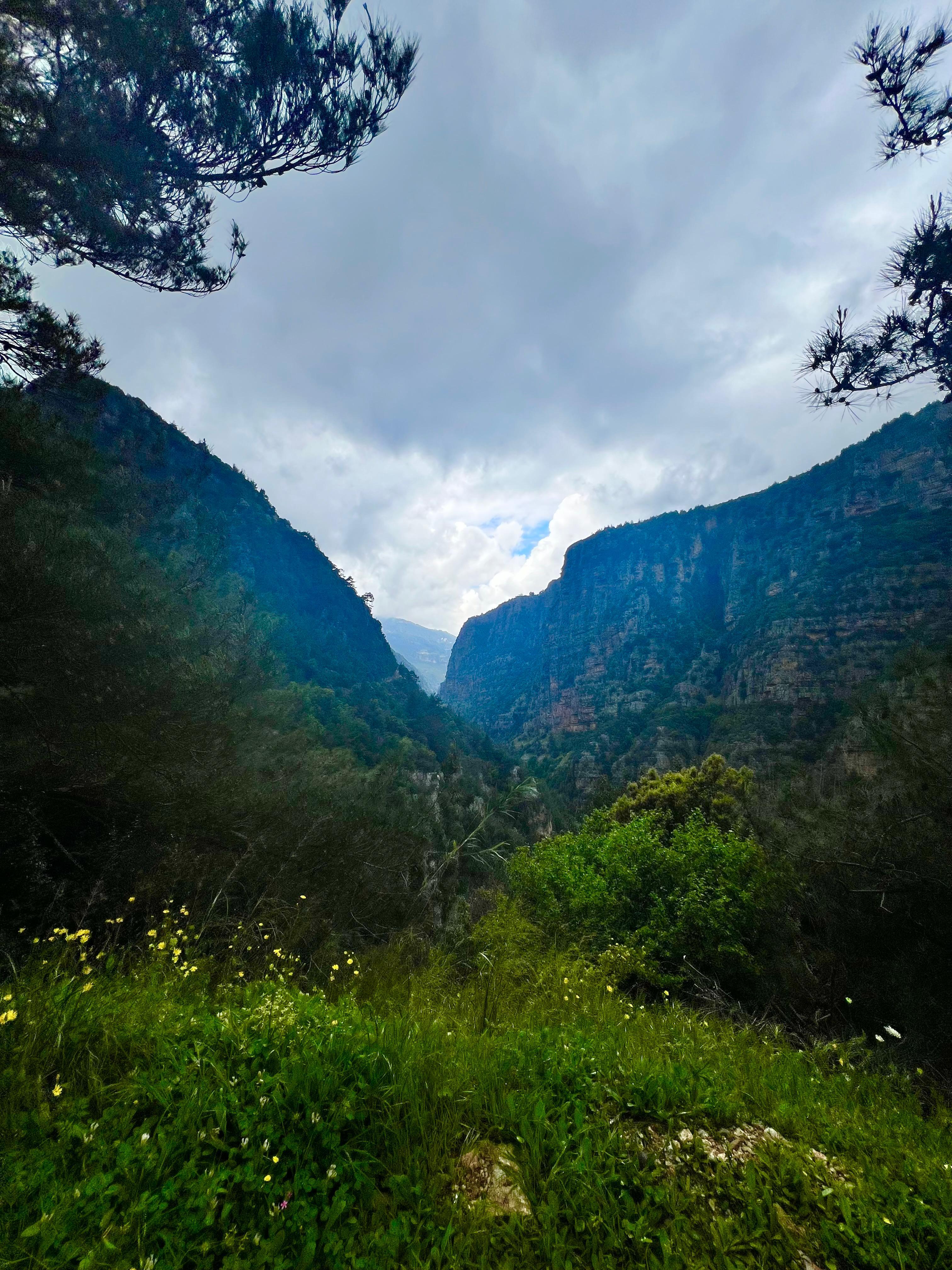
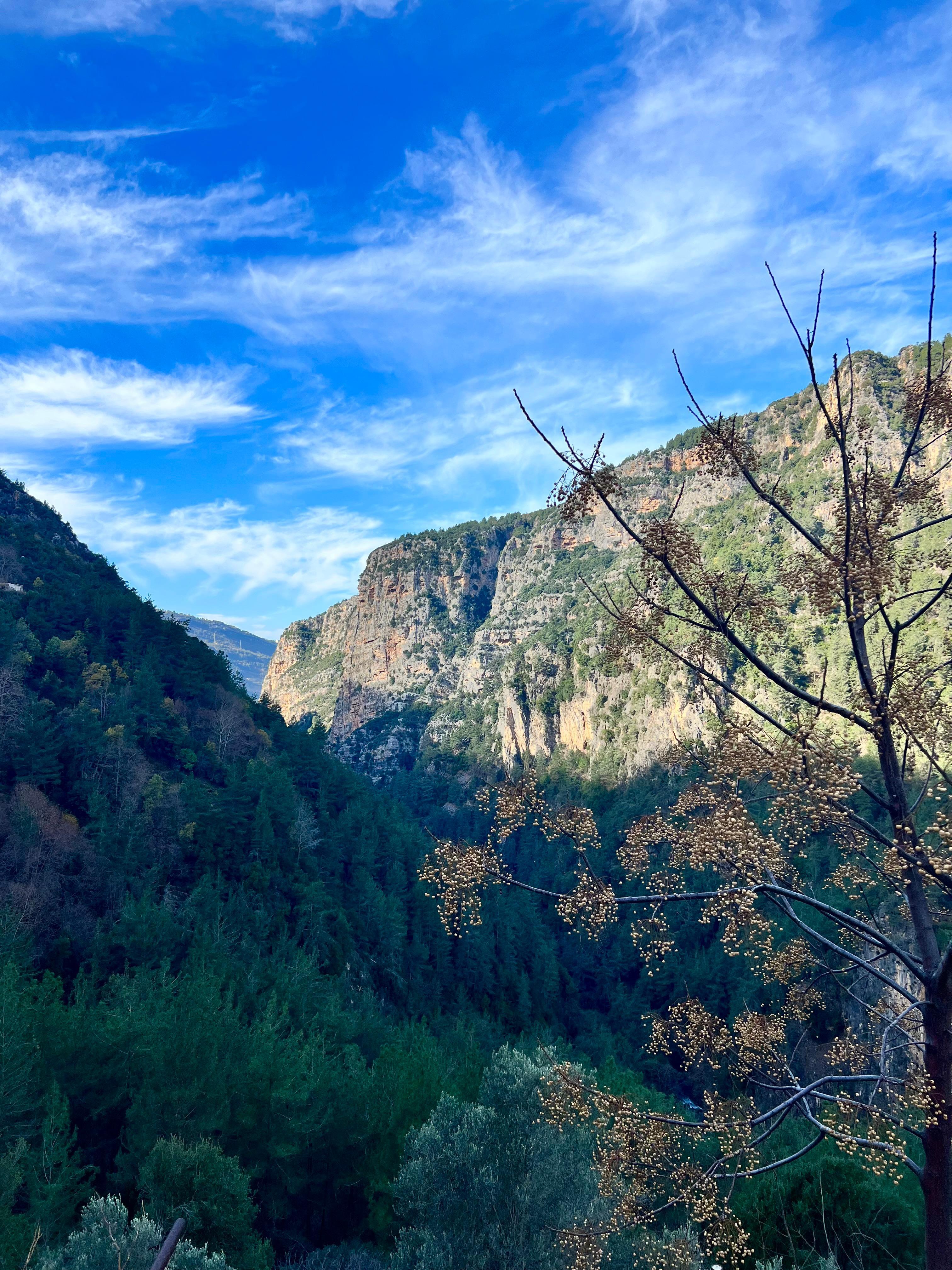
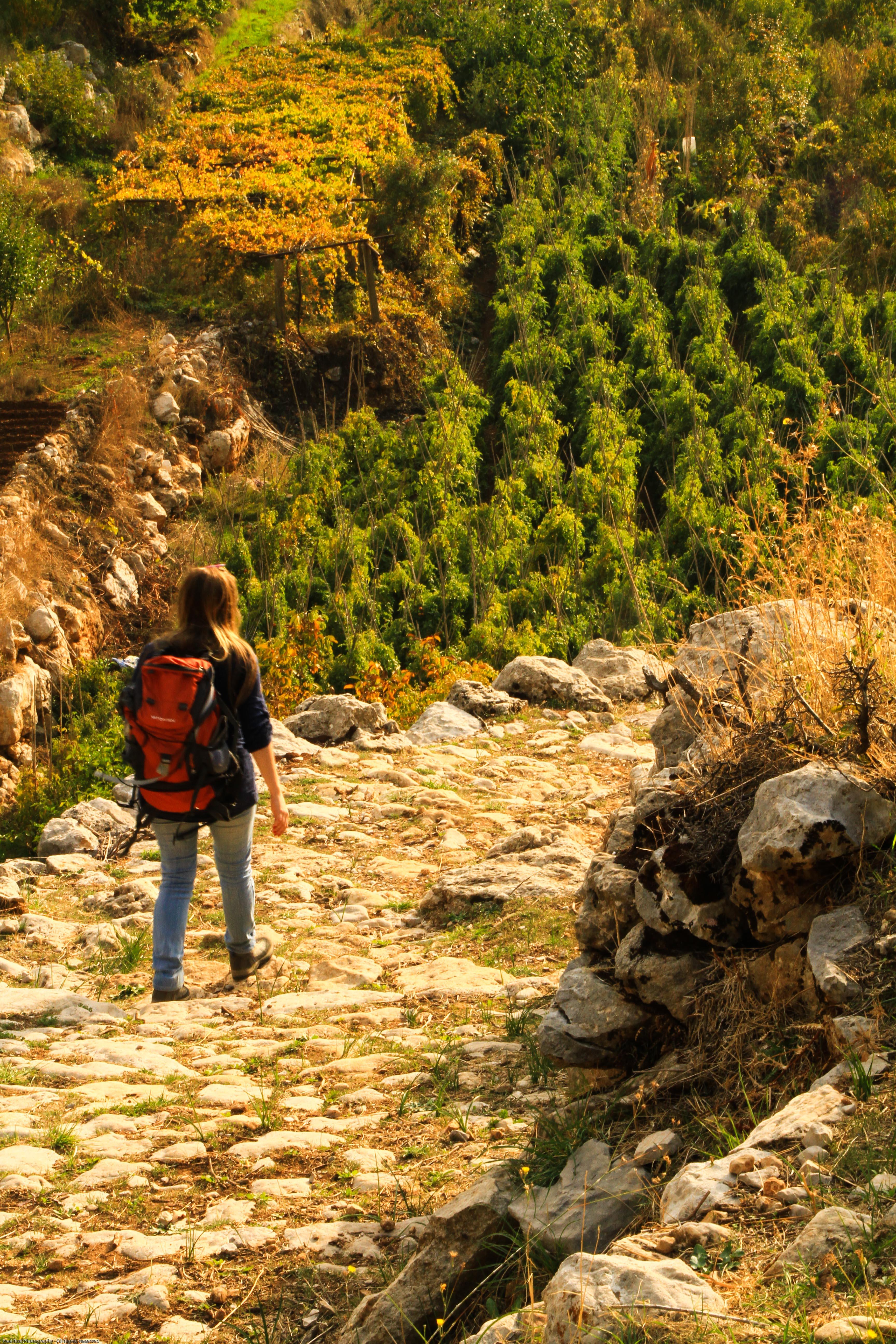
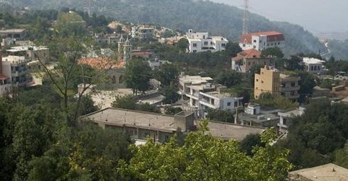
Touristic sites:
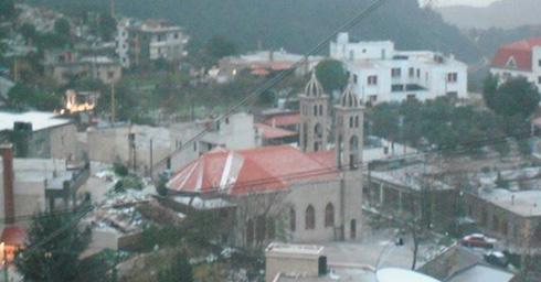
Chouwan:
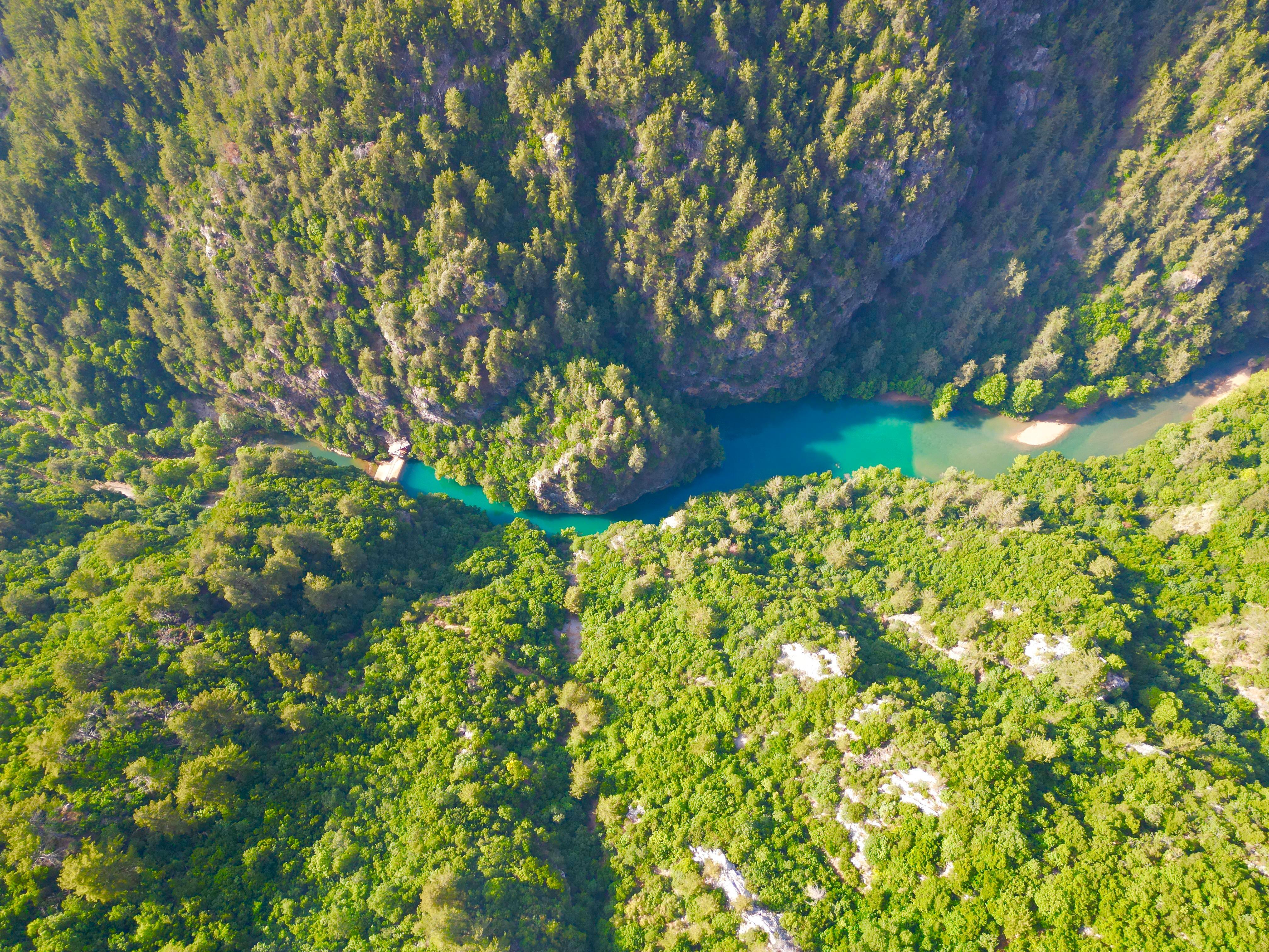
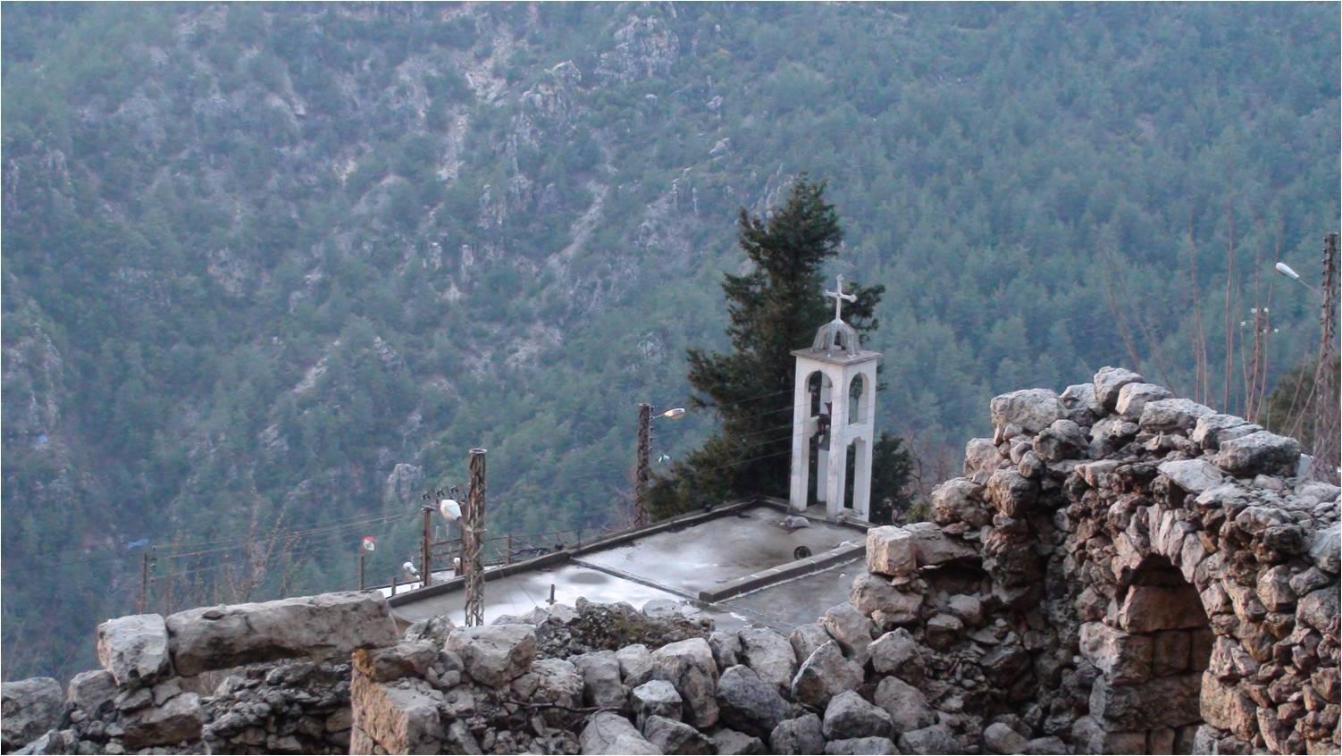
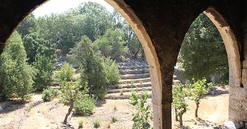
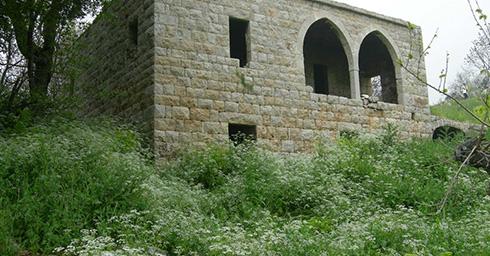
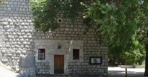
Entrance to Jabal Moussa Reserve facing Chouwan Church
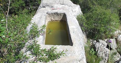
Chouwan lake
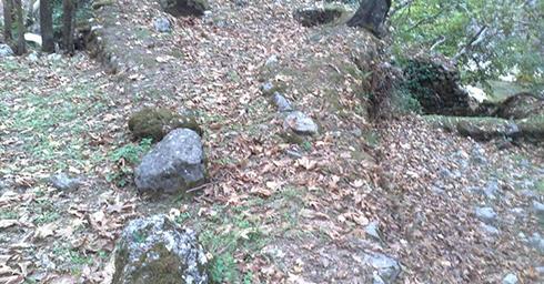
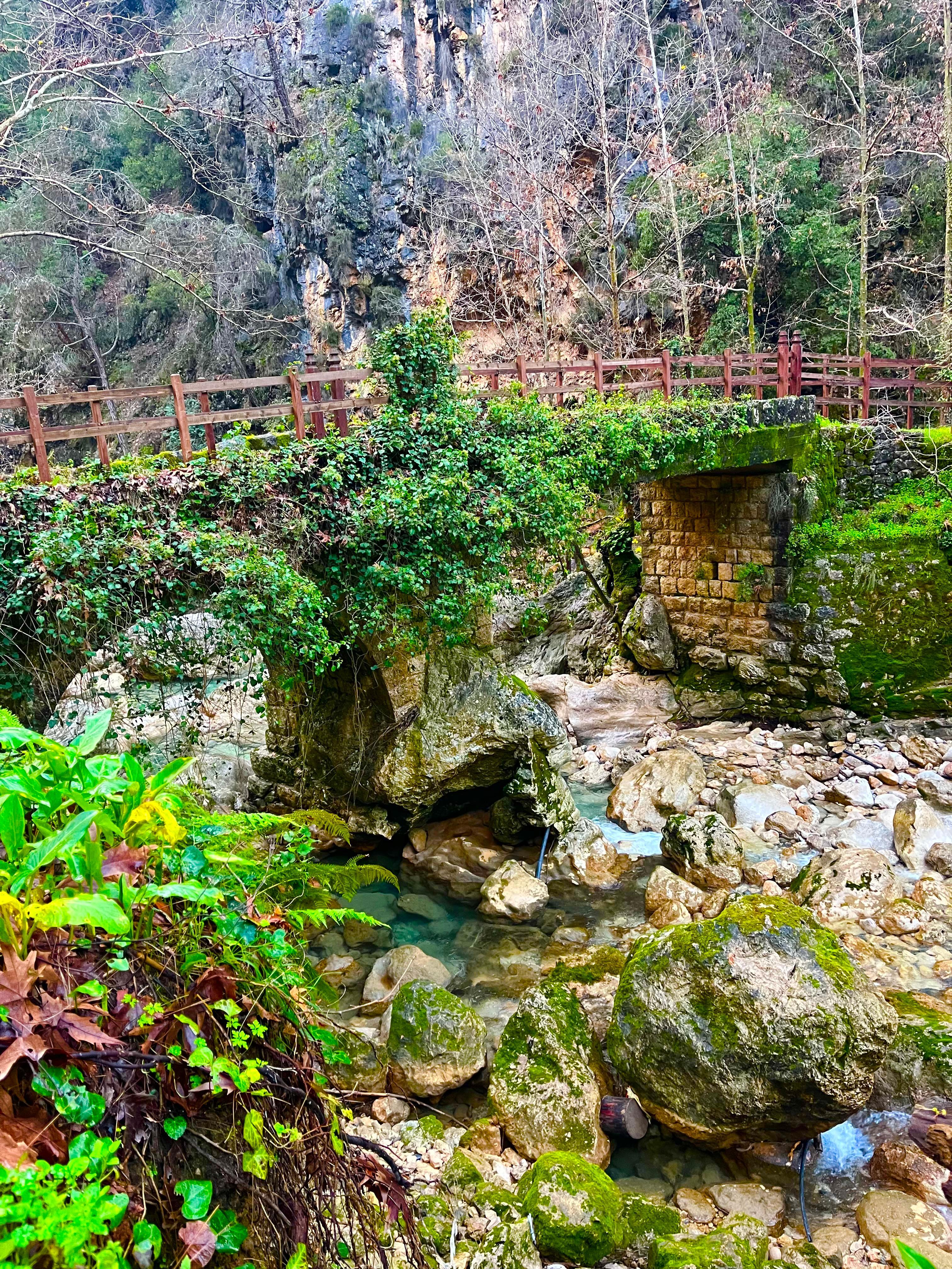
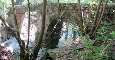
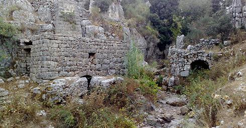
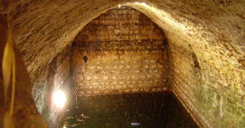
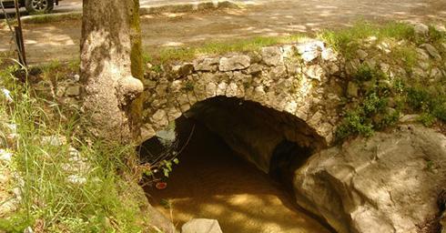
Stone Bridge
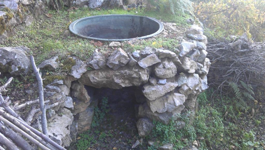
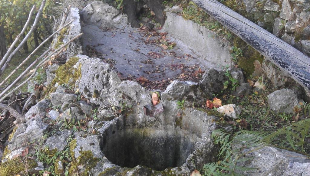
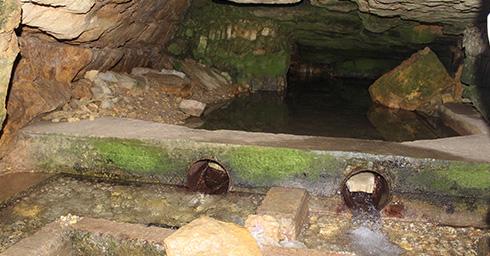
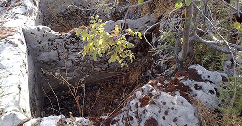
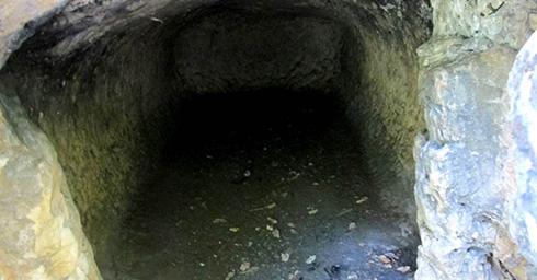
Ancient Watermill
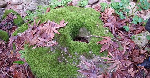
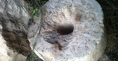
Ancient Olive Press
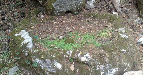
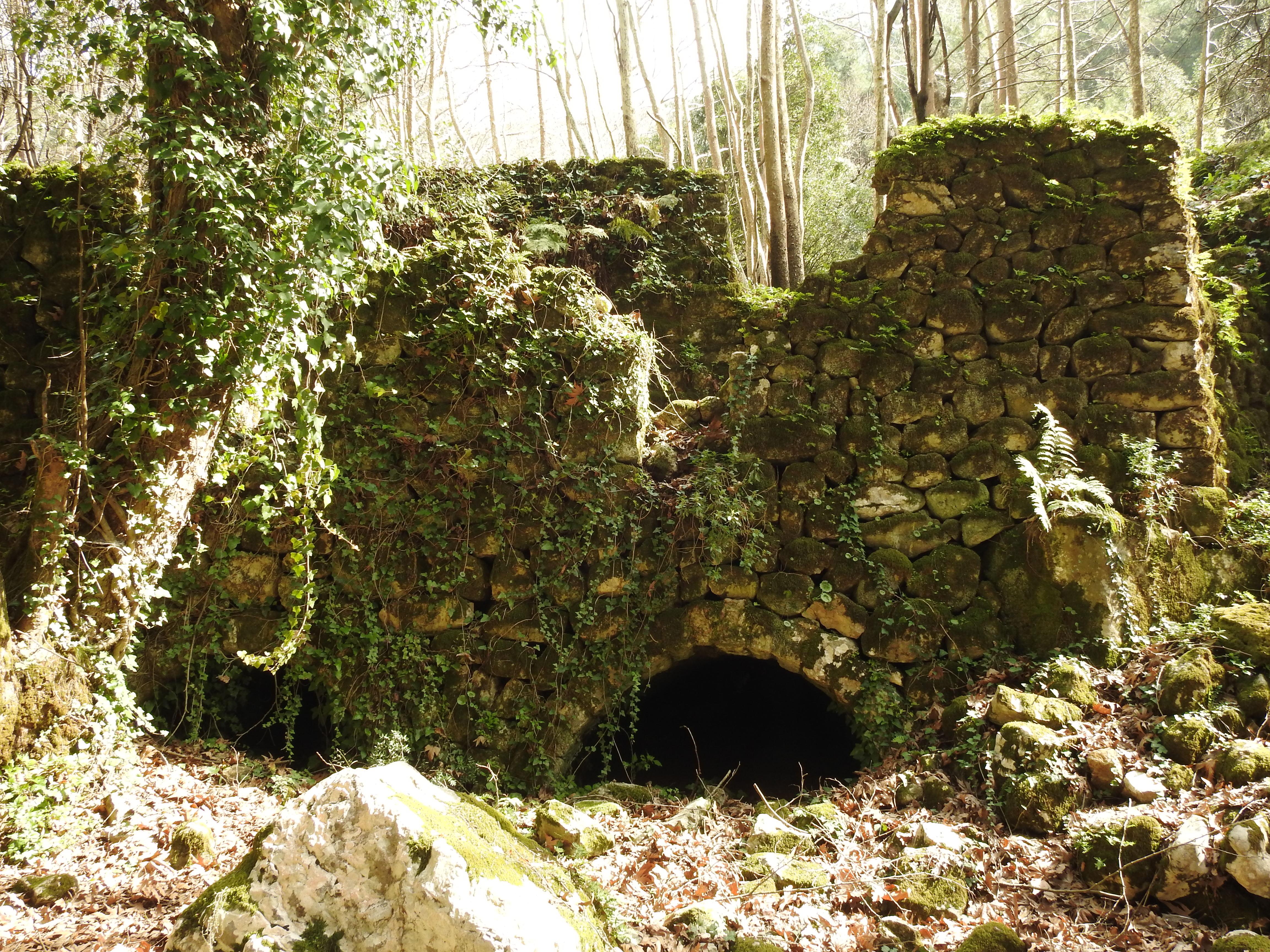
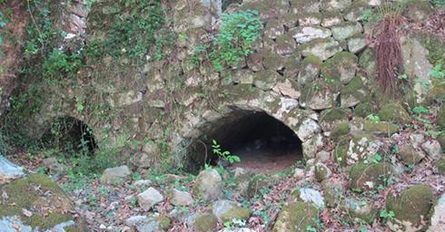
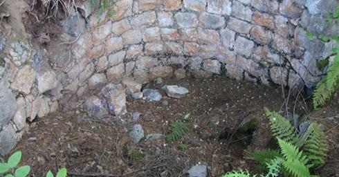
Ancient Lime kiln
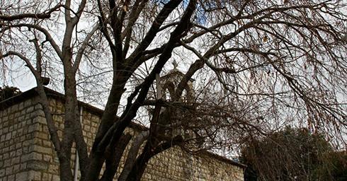
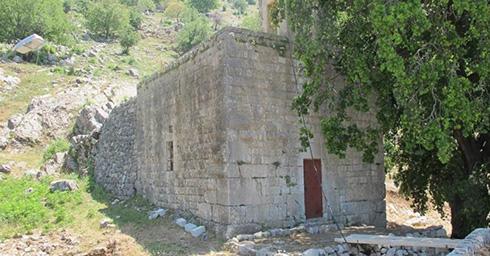
Church - Our Lady of DeliveranceAl Iibre:
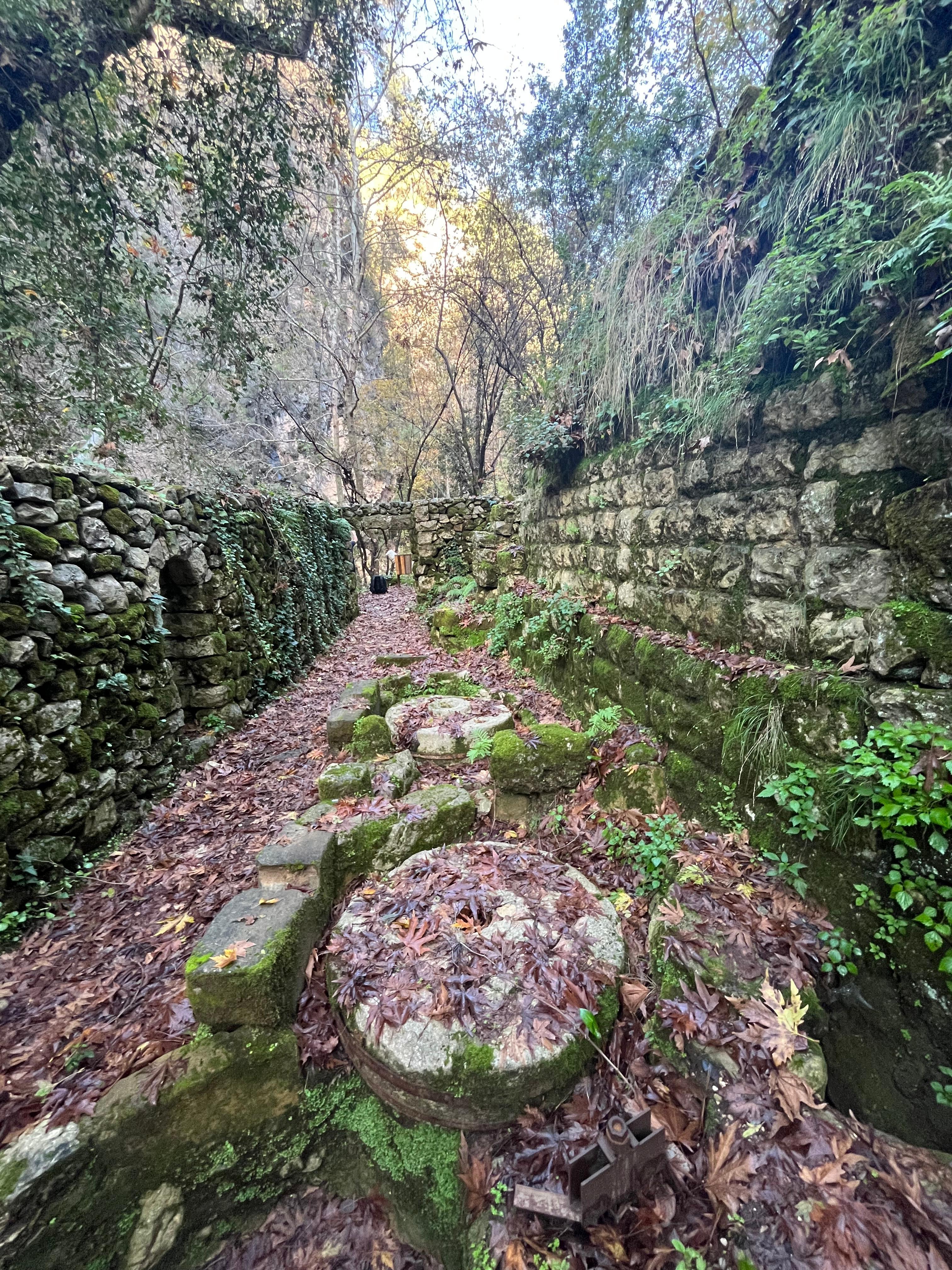
Two Ancient Grape Presses, still functional today
St. Therese Church
Rita Keyrouz Guesthouse
Back to map -
-
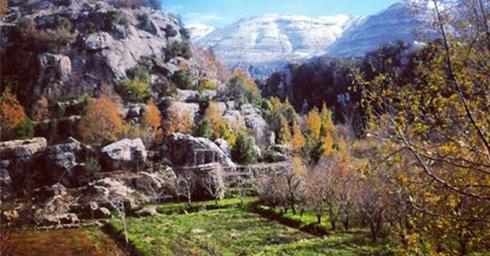
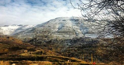
Qehmez
Governorate: Mount Lebanon
Caza: Jbeil
Altitudes: 1,300m to 1,750m
Distance from Beirut: 50 Km
Meaning and origins of the village name:
Dr Anis Freiha considered it a mysterious name, difficult to analyze. Even though he doubted its Semitic origins, he still offered four possible explanations:
1st possibility: a word composed of two parts; “Qah - قه” and “Mez - مز”
2nd possibility: Q القاف from qrīta, meaning village, and the second part is “hmez - قهمز”
3rd possibility: First part, “Qeh” meaning in Semitics, rigidity, numbness; and the origin of the second part is “mezzé”, meaning hair and fur. No logical link was made between both parts.
4th possibility: From “Kamaz - قمز”, which in Lebanese dialect refers to jumping, that is because crossing the rugged land of Qehmez requires “jumping”.
Touristic sites:
Sarcophagi
Two Ancient watermills
Ancient Olive Press
Two ancient grape presses
Ancient Lime kiln
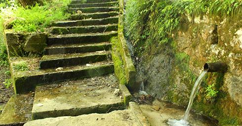
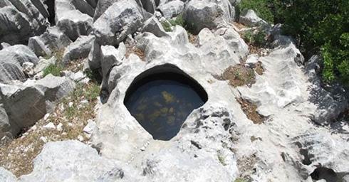
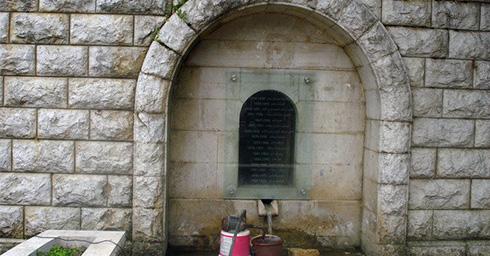
El Hadid Spring (Nabe’ El Hadid)
One entrance to Jabal Moussa Reserve in Baydar el-Shawk, Qehmez
Back to map -
-
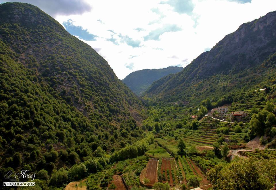
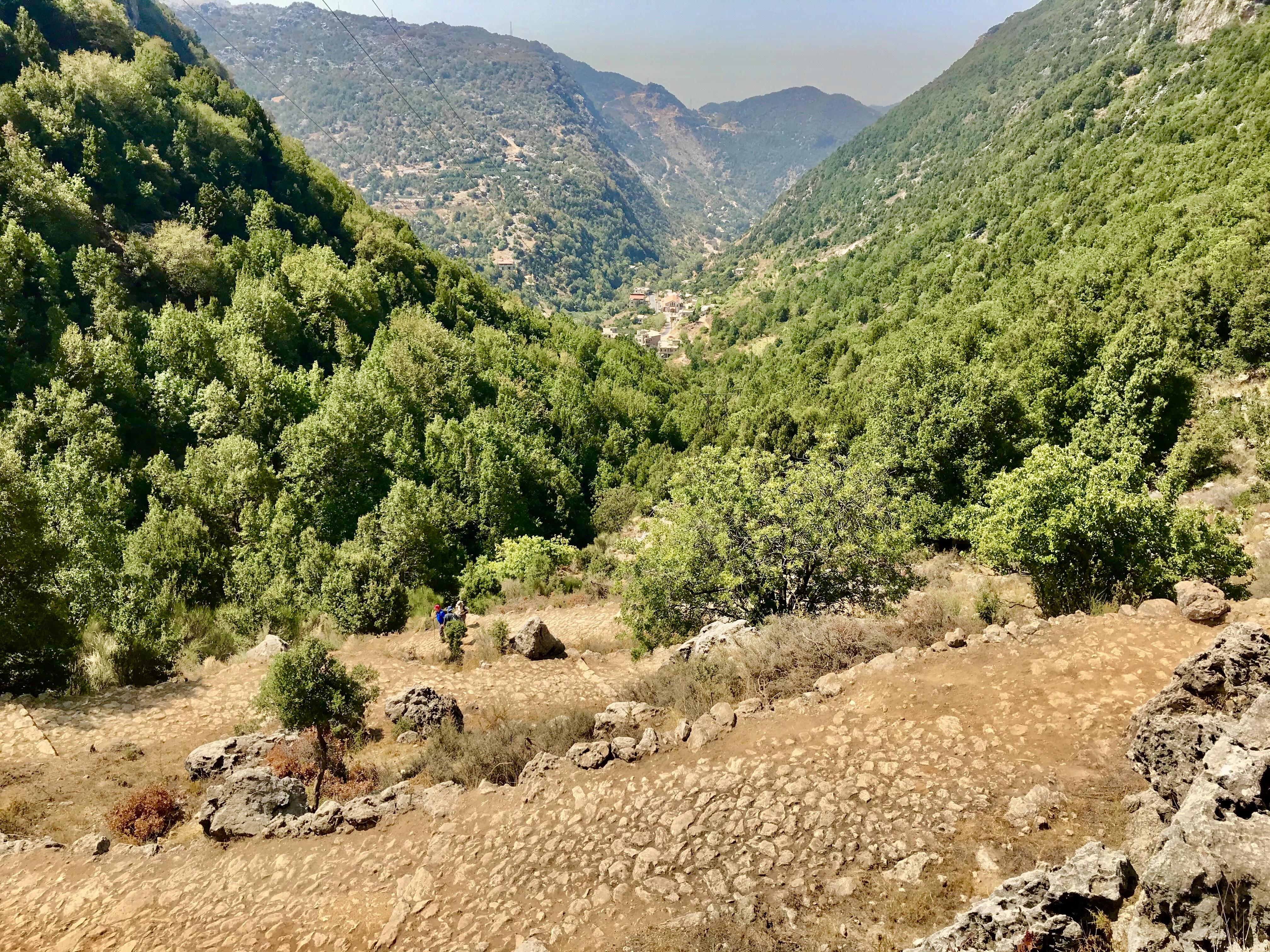
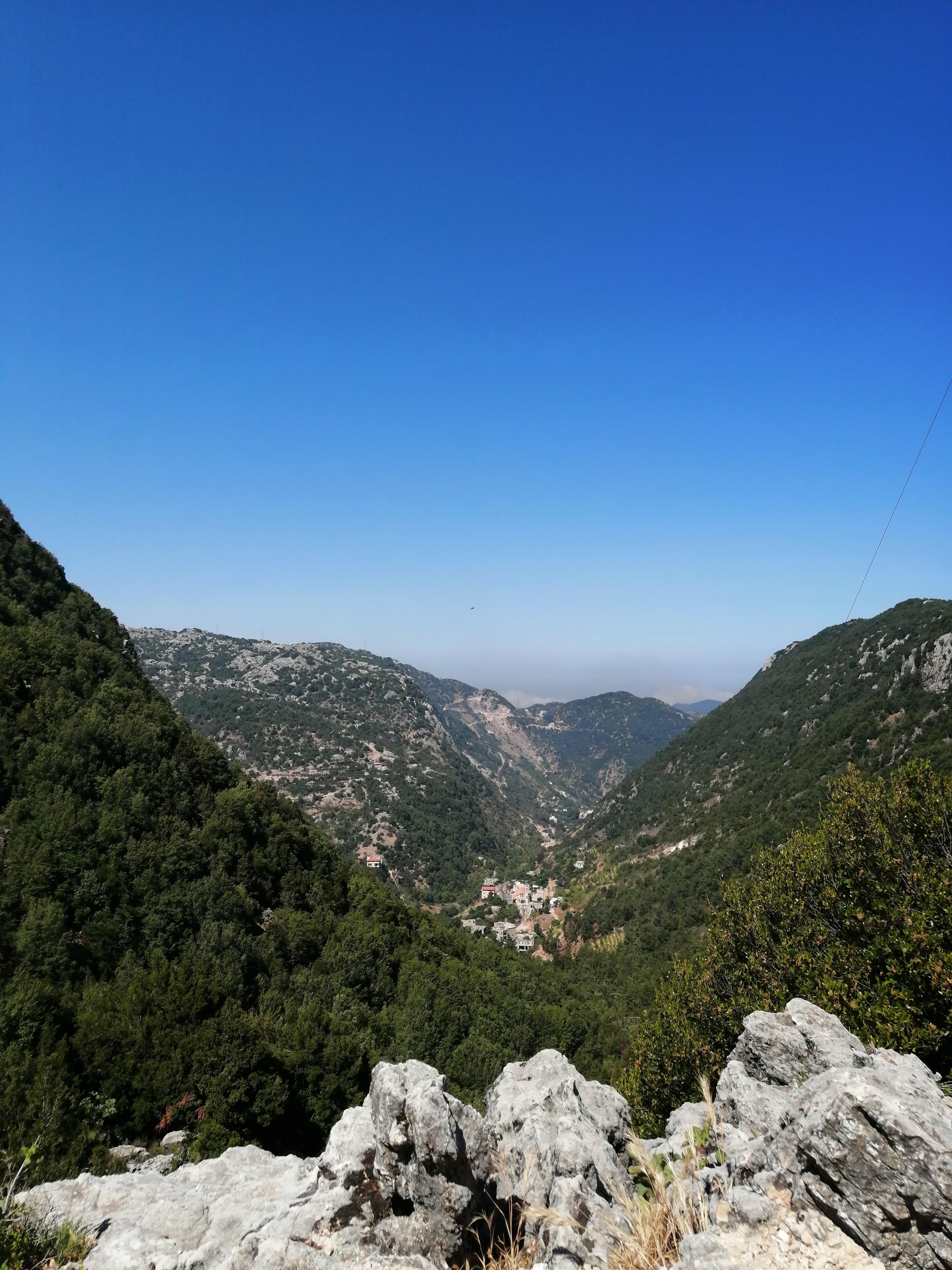
Nahr ed Dahab
Governorate: Mount Lebanon
Caza: Ftouh Kesserwan
Altitudes: 800m to 950m
Distance from Beirut: 40 Km
Meaning and origins of the village name:
From clearly Arabic origin, the name is composed of two Arabic names “Nahr”, meaning river, and “Dahab” meaning Gold; exact translation: River of Gold
1st explanation: Refers to the lucid, pure river, as in Lebanese dialect, good things are described to be “like gold - مثل الدهب”.
2nd explanation: the river is surrounded by tall sycamore trees; in autumn the leaves of the trees turn golden yellow and fall, thus making it the “Golden River”.
Touristic sites:
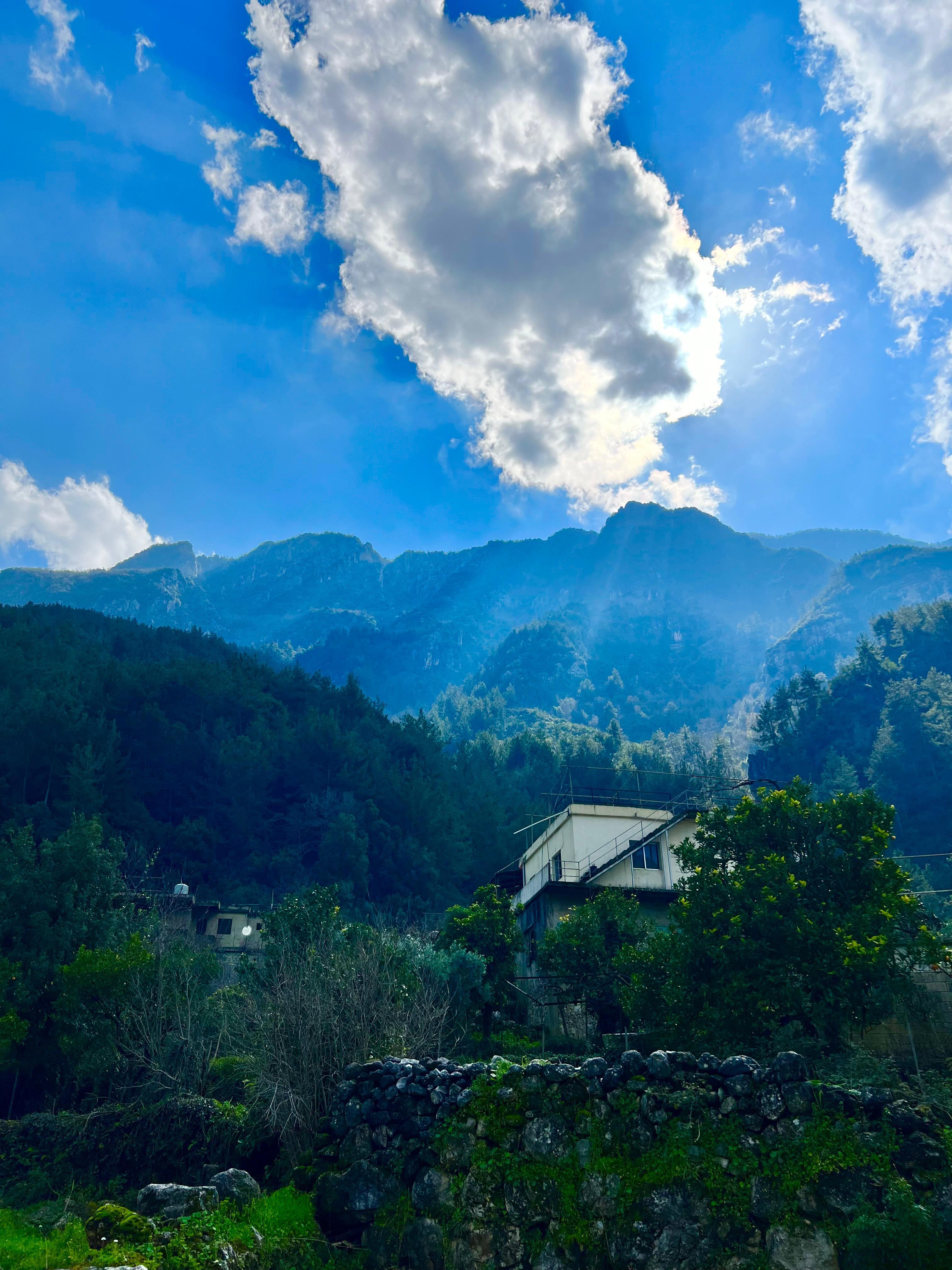
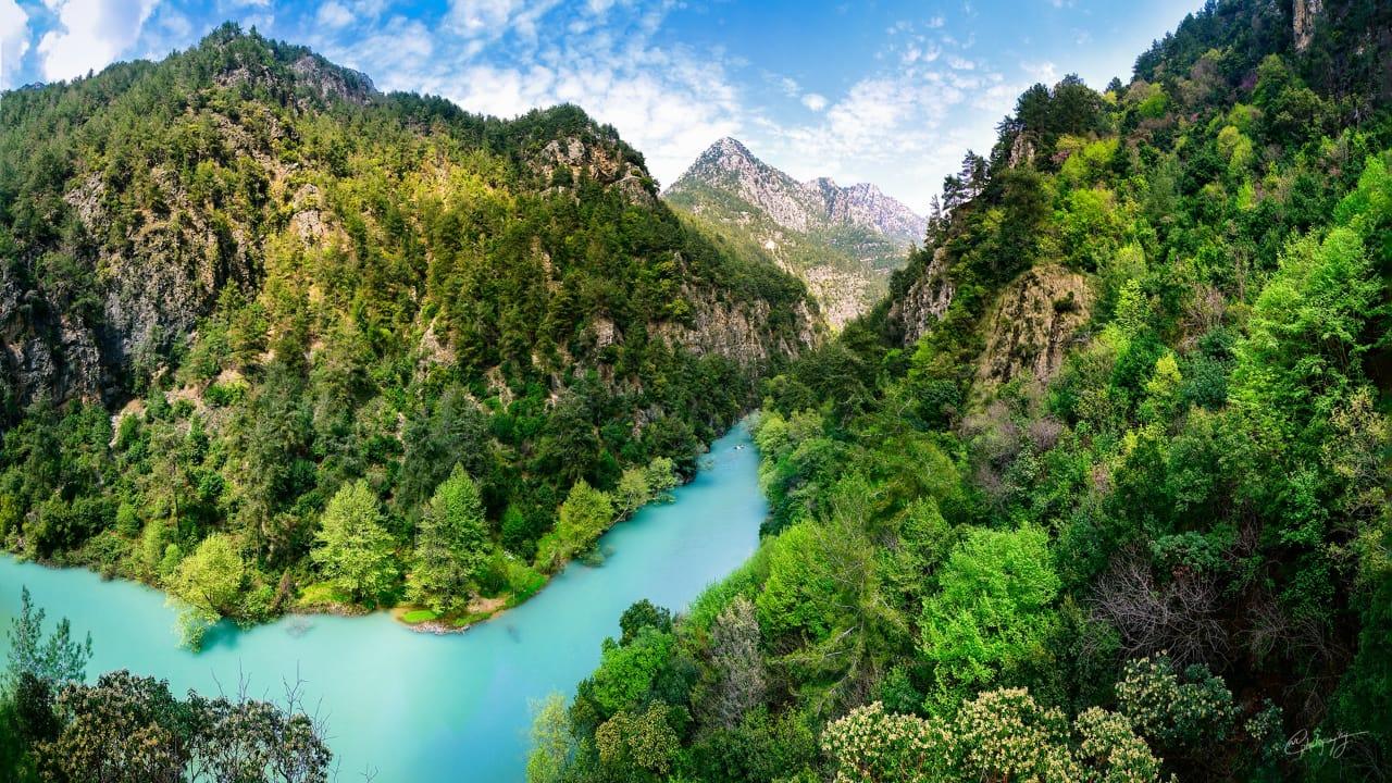
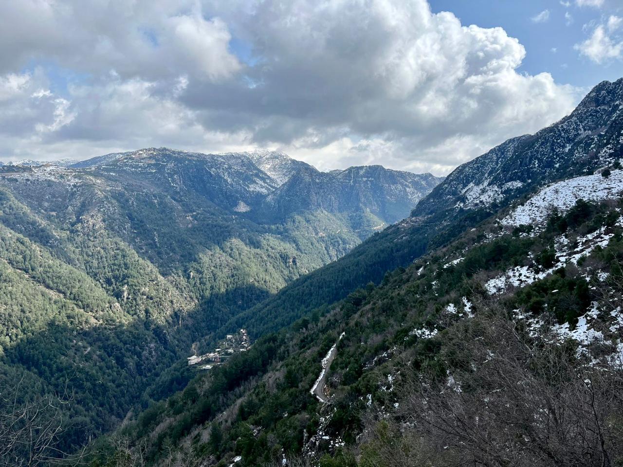
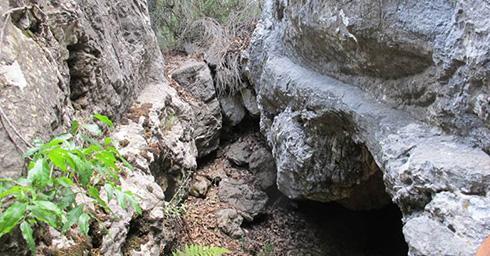
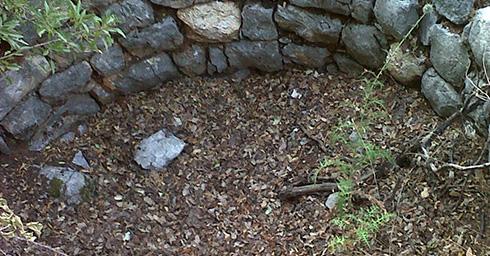
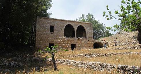
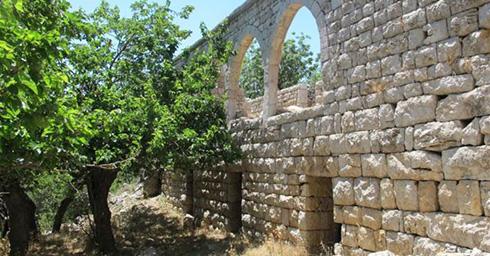
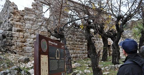
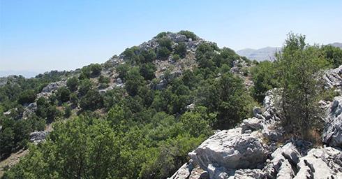
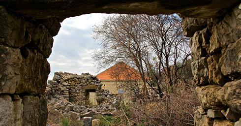
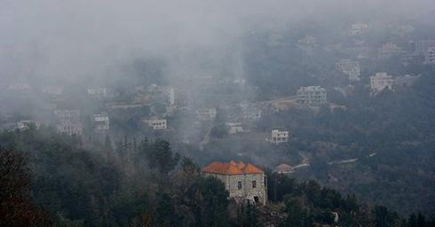
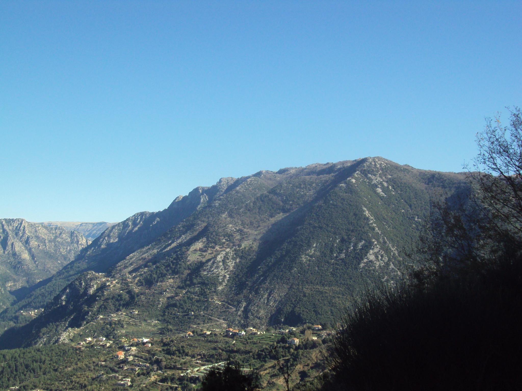
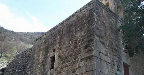
Old houses (El-Byut) in Jabal Moussa: considered as representatives of the vernacular architecture, three old houses form a small village at the mountain summits, at one-hour walk from the nearest inhabited village. Records of the presence of the old houses go back to 1779; they were completely abandoned in the 1960’s.
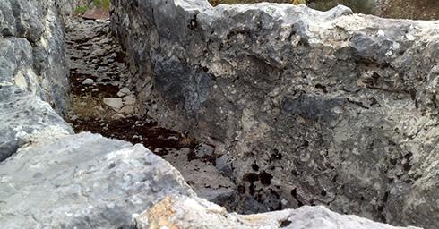
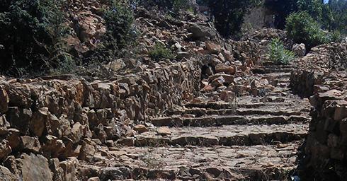
Roman Stairs, inside Jabal Moussa
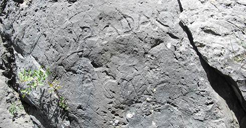
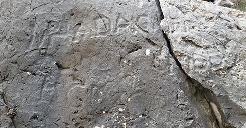
Hadrian's Inscription
Ancient Grape Press
Two entrances to Jabal Moussa Reserve in Mchati, a neighborhood of Nahr ed Dahab
Back to map -
-
Ghbaleh
Governorate: Mount Lebanon
Caza: Ftouh Kesserwan
Altitudes: 800m to 1,100m
Distance from Beirut: 42 Km
Meaning and origins of the village name:
The name derives from a Syriac / Phoenician root meaning mixing and kneading clay, as well as making pottery, since the village is rich in clay.
Touristic sites:
Some remains of the Roman Stairs
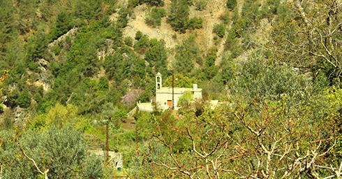
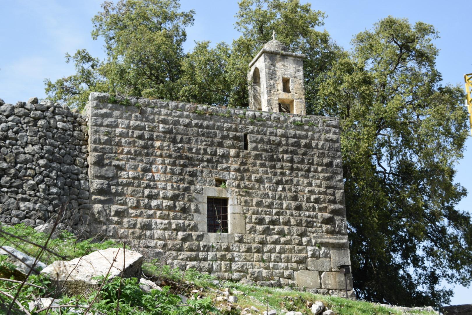
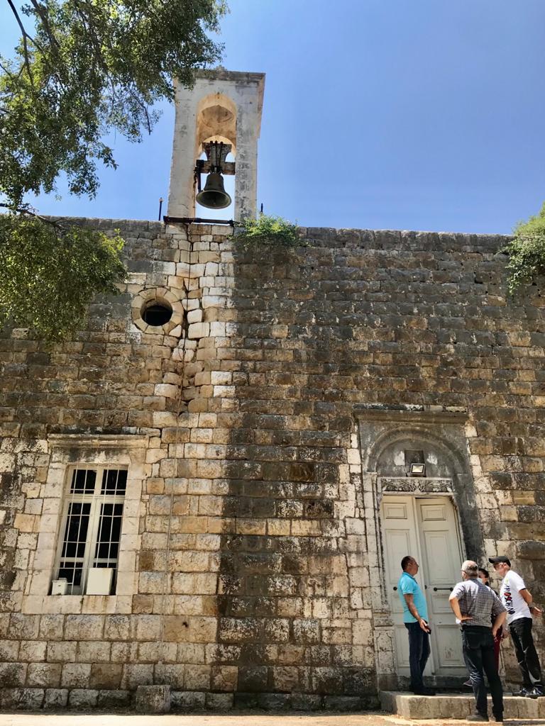
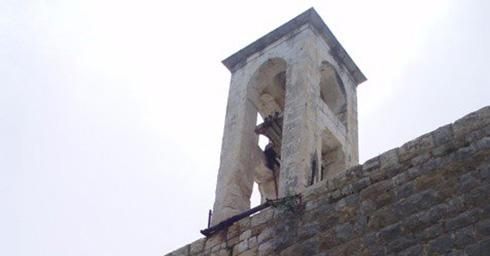
Church: Our Lady of Shqeef (Saydet El Shqeef)
Church: Saints Sergius and Bacchus (Mar Sarkis w Bakhos): it is believed to be one of the oldest churches in the Caza of Ftouh Kesserwan, built on the ruins of a Phoenician temple; parts of its walls were built using the same stones of the temple.
Back to map -
-
Jouret El Termos
Governorate: Mount Lebanon
Caza: Ftouh Kesserwan
Altitudes: 1,000m to 1,100m
Distance from Beirut: 40 Km
Meaning and origins of the village name:
The word “Jouret” means in Arabic the low-lying place, surrounded by mountains, which applies to the village of Jouret el Termos.
As for the word Termos, there are two possible explanations:
1st possibility: It is believed that the word comes from the foreign “Thermos”, meaning thermal insulator, which is linked to baths anciently located in the village.
2nd possibility: Some parts of the village are said to have been planted with “lupine” thus the word Termos - ترمس meaning lupine in Arabic.Touristic sites:
Jabal Moussa's Central Kitchen
Church: Saint Artemius (Mar Challita)
Back to map -
-
Yahchouch
Governorate: Mount Lebanon
Caza: Ftouh Kesserwan
Altitudes: 200m to 1,150m
Distance from Beirut: 45 Km
Meaning and origins of the village name:
1st possibility: Distortion of the word “hāshūsha”, meaning the agonized and tortured.
2nd possibility: Present form of the verb “hashsh”, meaning suffered and endured.
3rd possibility: Village of pain and agony.
4th possibility: Syriac word meaning the “Suffering god”
All four possibilities refer to pain and suffering. To explain this, one must go back thousands of years ago, to the times of the Phoenicians, whose god Adonis dies in the Valley of Adonis River (Nahr Ibrahim), the river that bounds the village of Yahchouch on the North.
Touristic sites:
Two ancient watermills
Ancient Olive Press
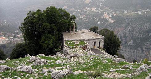
Monastry: Saint Georges (Mar Geryes), in the core area of Jabal Moussa
Church: Saint Simon
Church: Our Lady of Ghochraya (Miraculous)
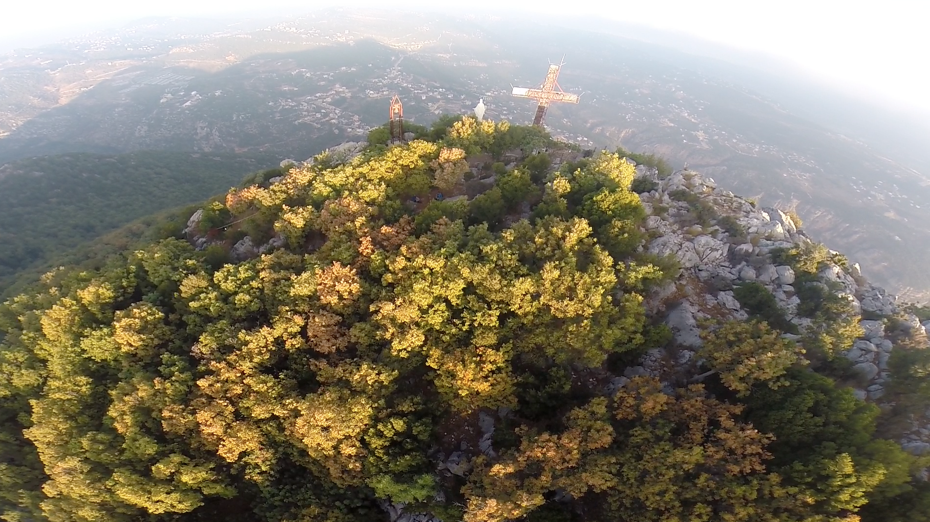
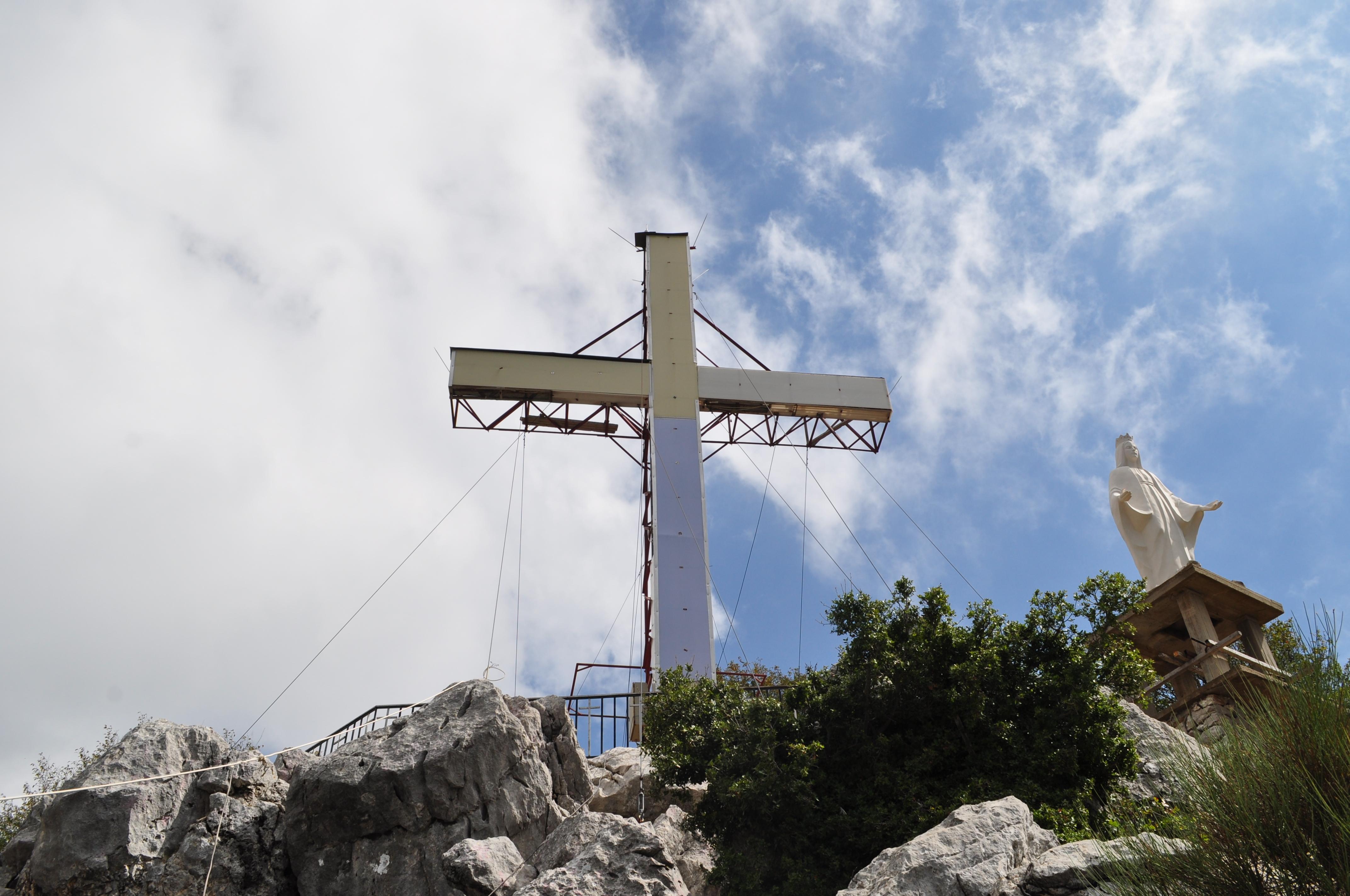
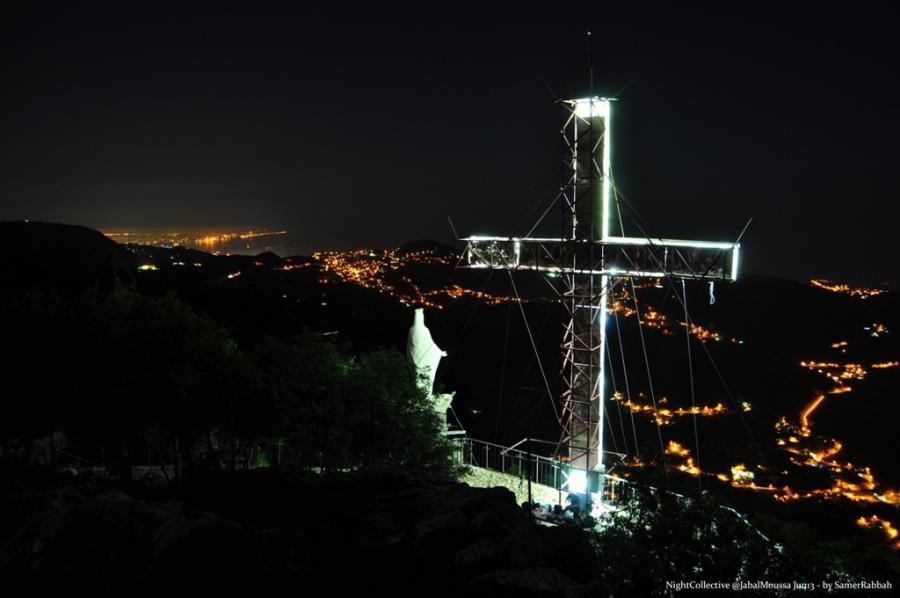
Cross of Yahchouch
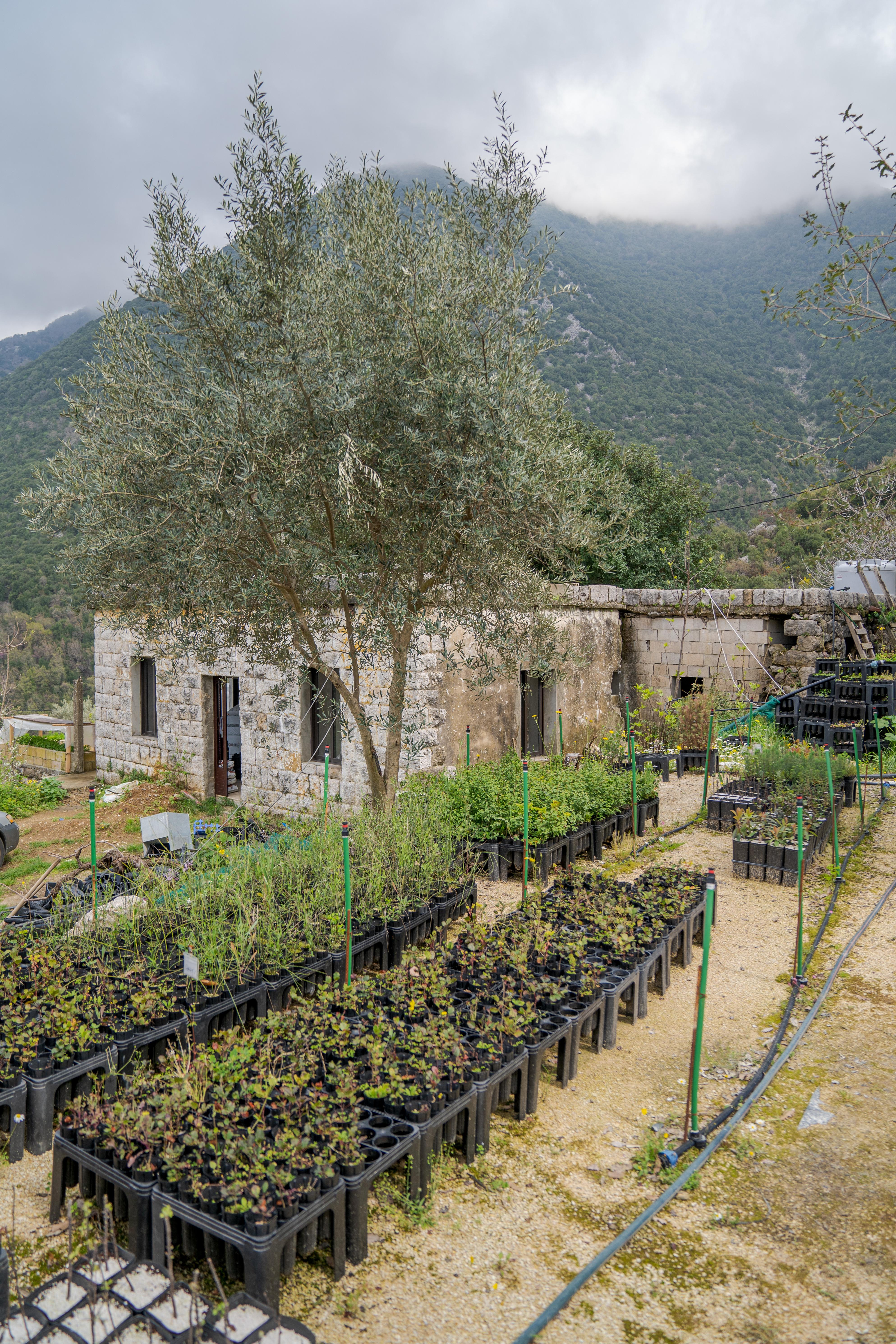
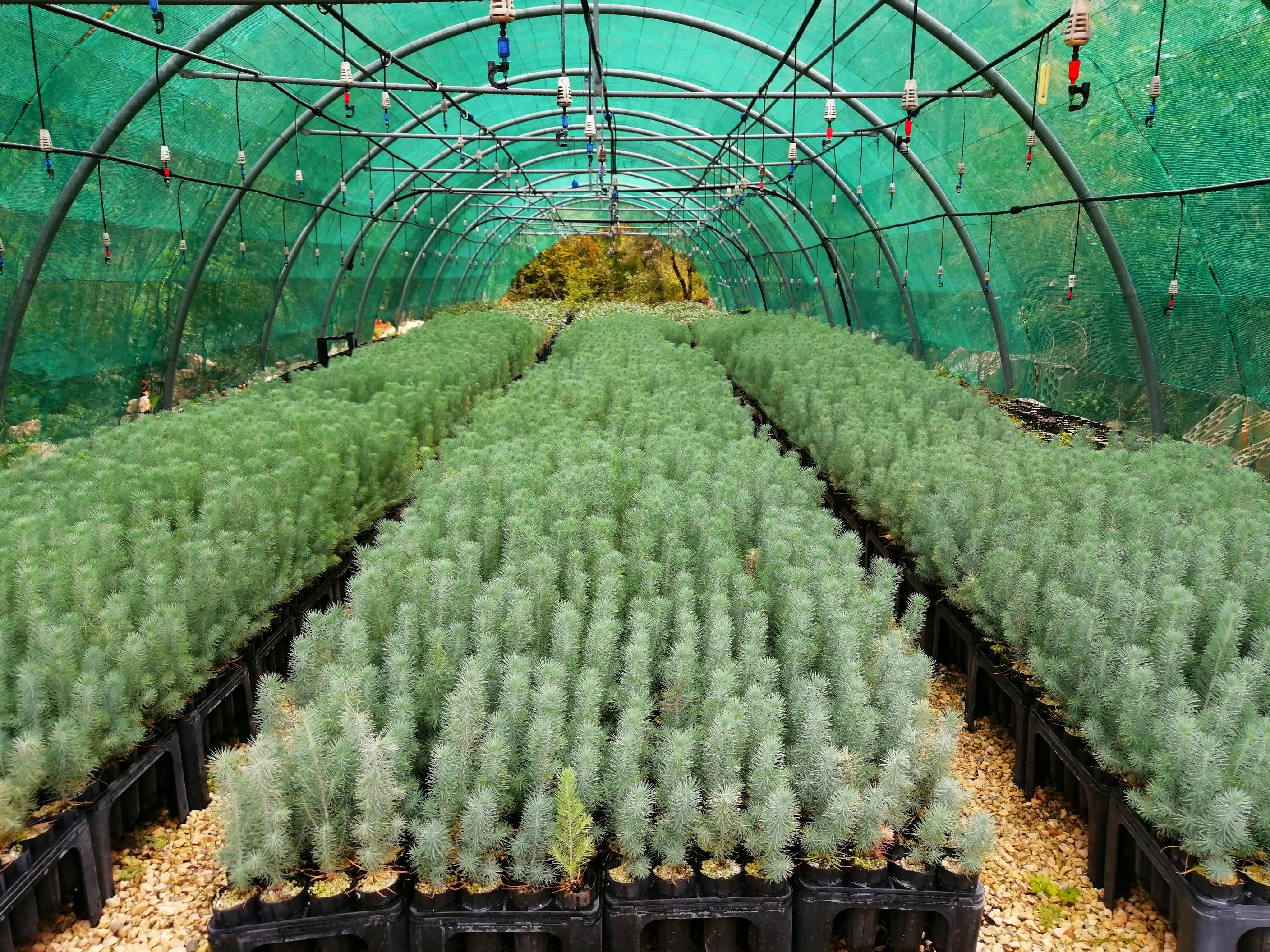
The Budding Botanist
Jabal Moussa's nurseries
One entrance to Jabal Moussa Reserve in Assnawbar, a neighborhood of Yahchouch
Back to map -